
FIELD DEPLOYMENT
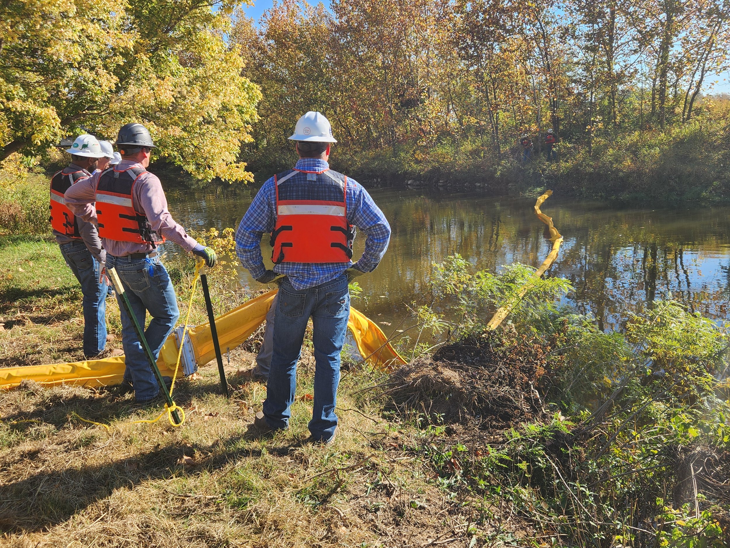
As part of the exercise, teams will be deployed to multiple field locations to deploy operational assets in coordination with the scenario. Teams will consist of a mix of HFSM Operations personnel, first responders, agency personnel, and contractor representatives. Team makeup will be announced prior to the exercise.
Upon arrival at the respective deployment sites, players are expected to conduct a “tailgate” safety briefing unique to the location. Team members must subscribe to good housekeeping practices upon the the privately-owned properties.
SITE #1
CHUGWATER CREEK
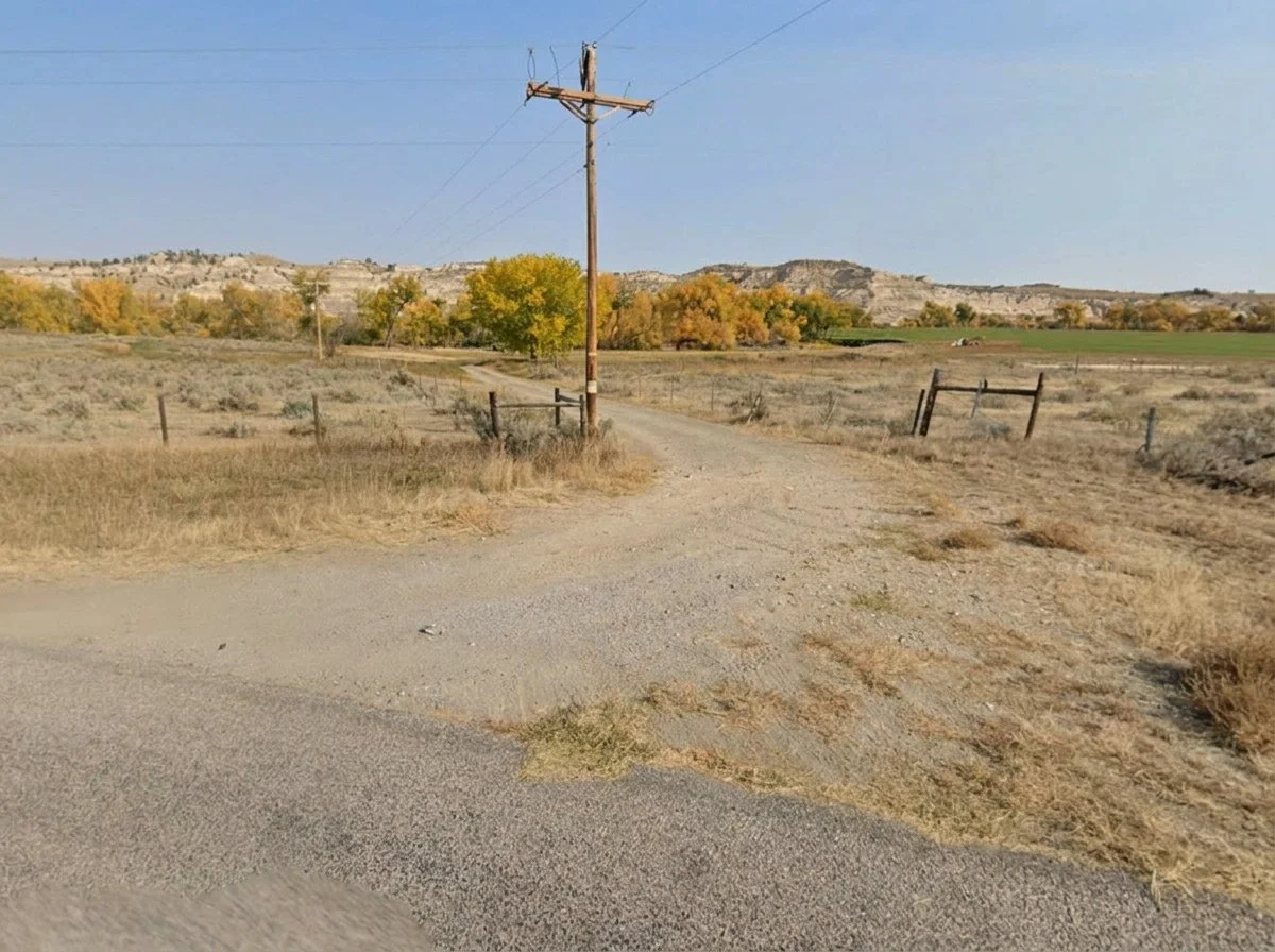
Site #1 is located on Chugwater Creek inside von Forell Ranch (GPS 42.083475, -104.875169), approximately one (1) mile downstream of the pipeline crossing. The site is characterized by a fixed-crest weir dam and irrigation turnout. Boom deployment should originate just above the dam on the left descending bank of Chugwater Creek.


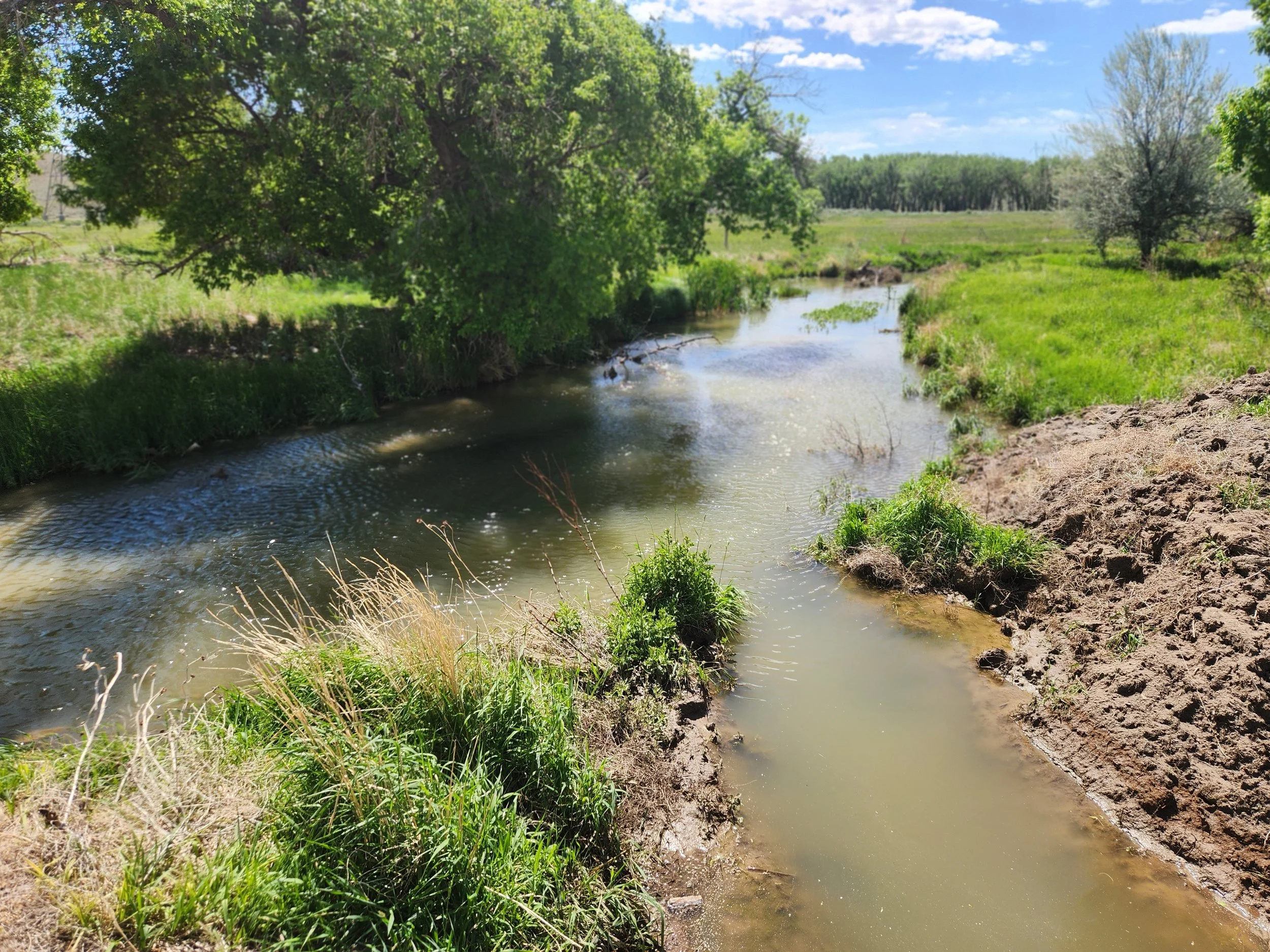
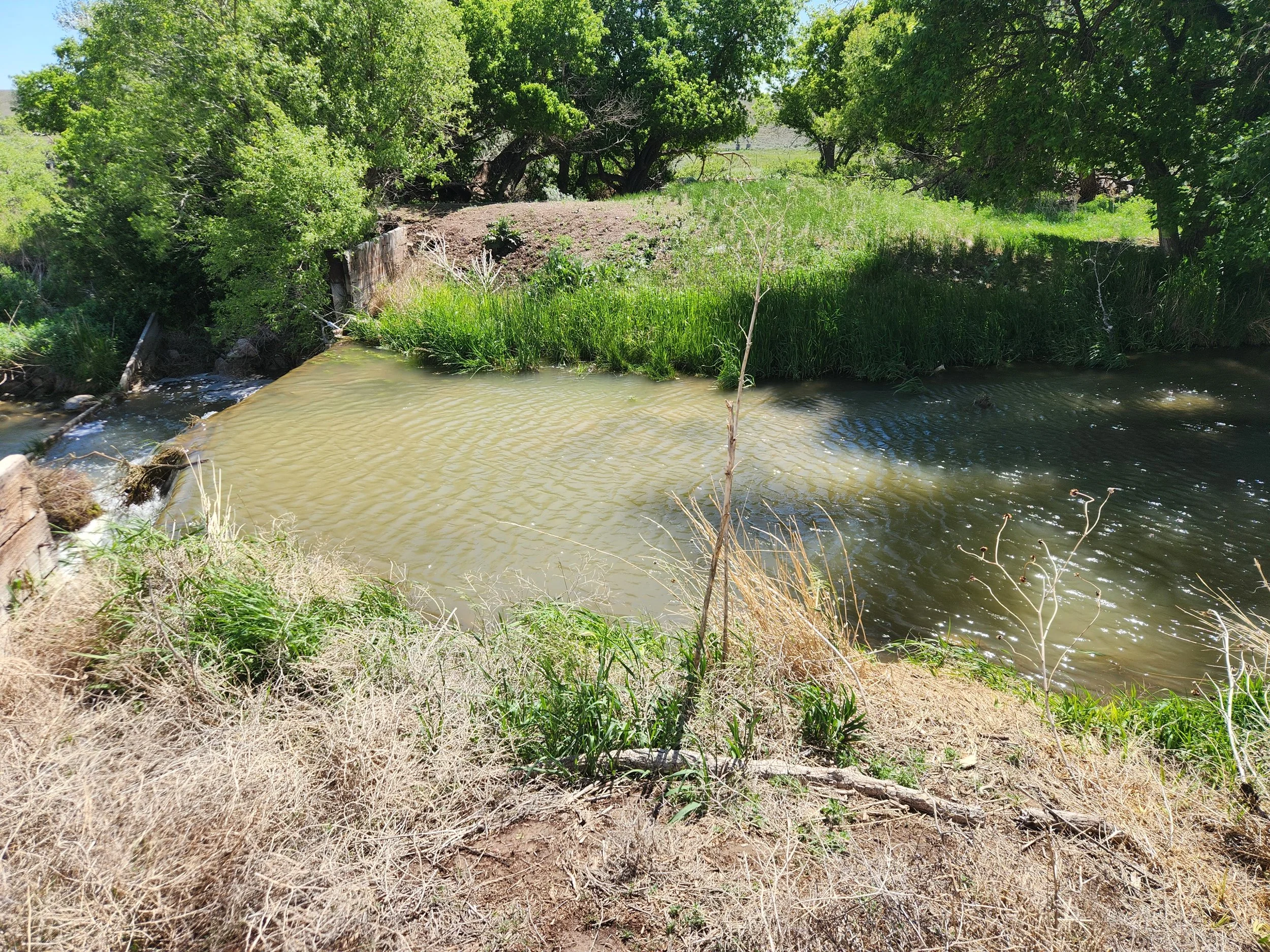

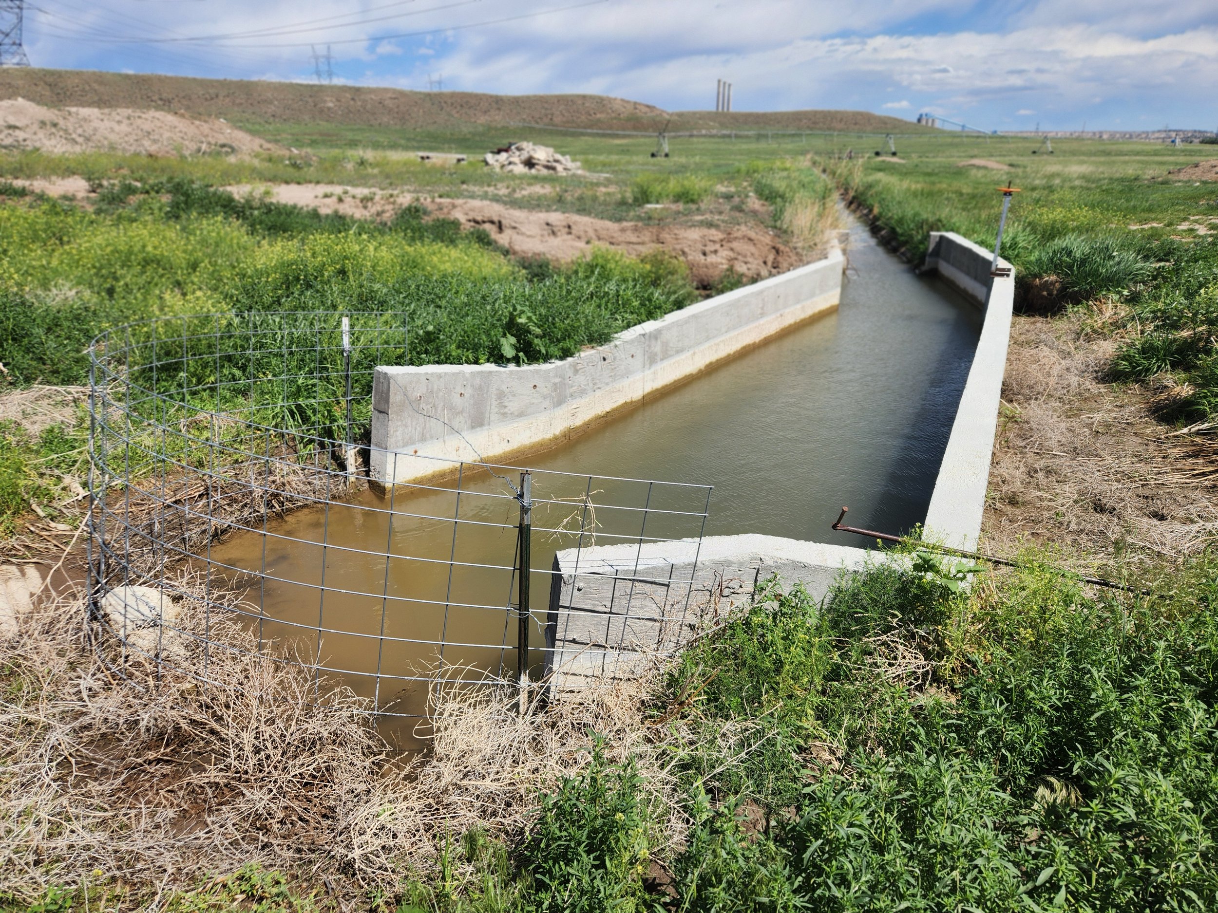
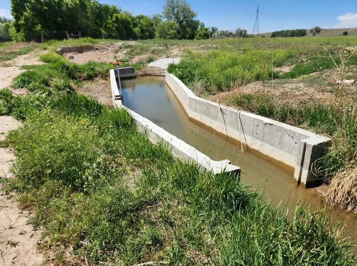


The site should be accessed via von Forell Ranch’s main entrance off Fairview Road. Click here for driving directions.
SITE #2
CHUGWATER CREEK
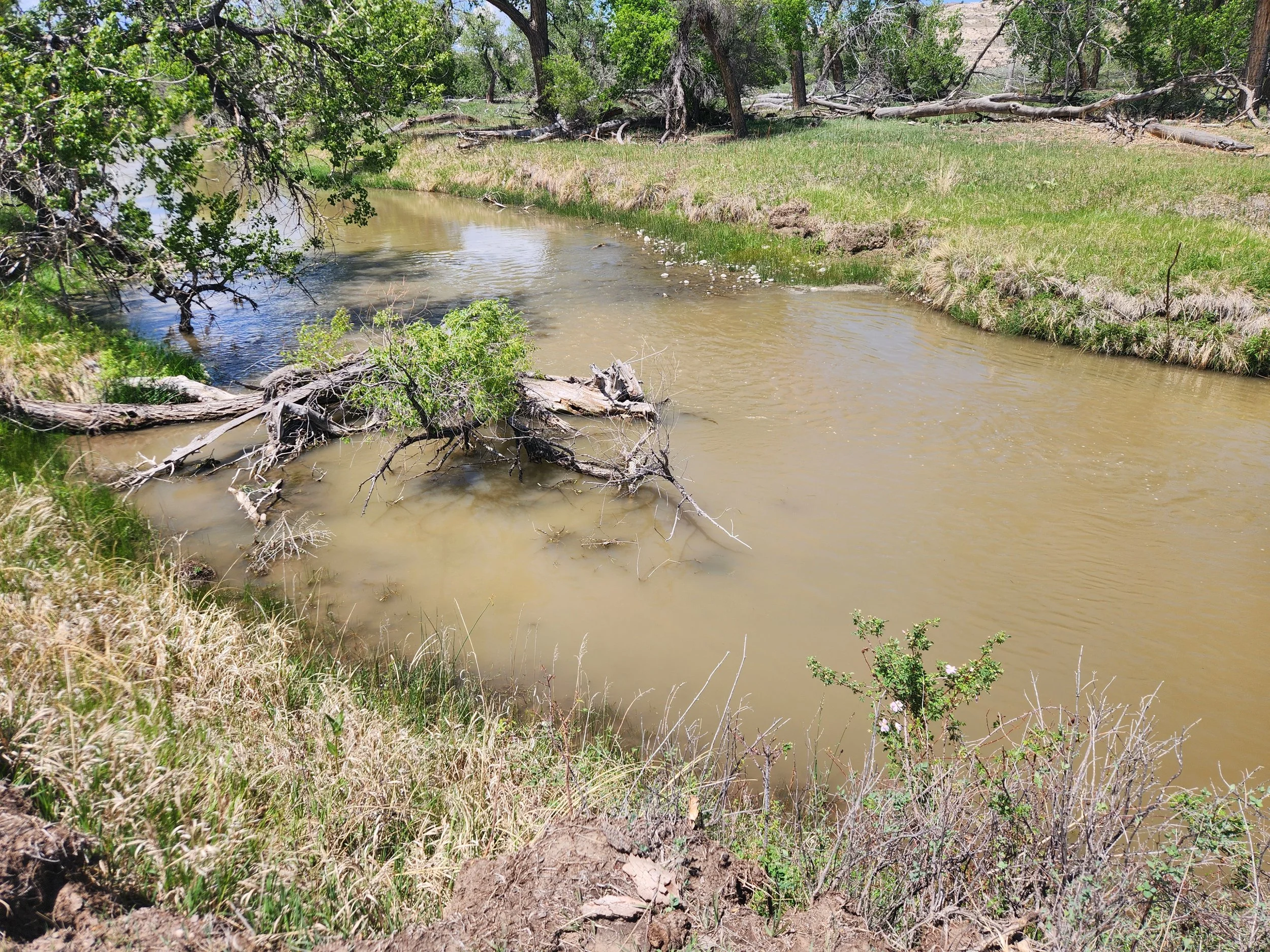
Site #2 is located on Chugwater Creek inside von Forell Ranch (GPS 42.098288, -104.867771), approximately 2.8 miles downstream of the pipeline crossing. It is located adjacent to the von Forell’s private residence, barns/sheds, and livestock holding pens. The site features a bridge across Chugwater Creek, with an opportune boom deployment site located immediately downstream of the bridge crossing.


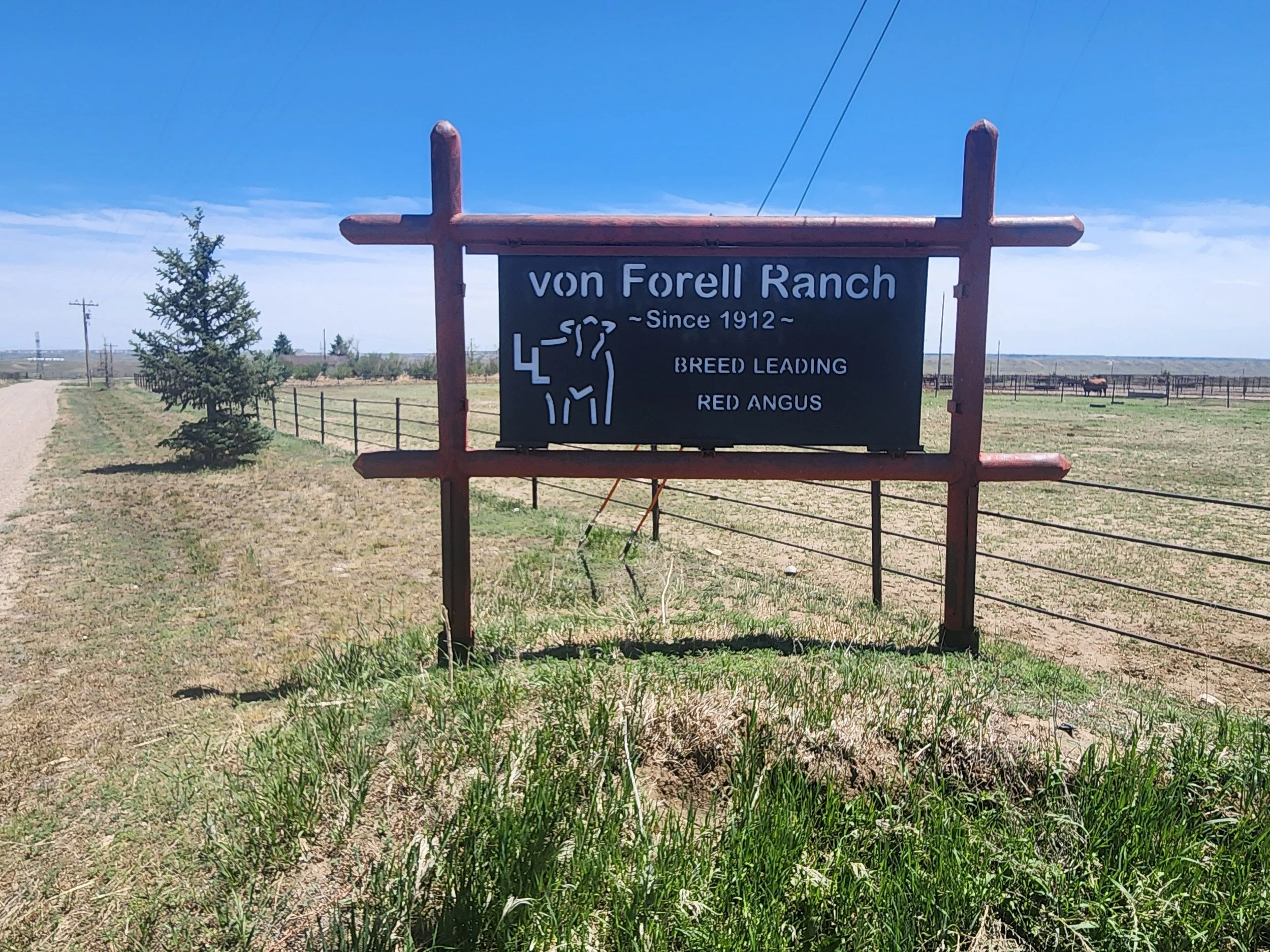
The site should be accessed via von Forell Ranch’s main entrance off Fairview Road. Click here for driving directions.
SITE #3
LARAMIE RIVER
Site #3 is located on the Laramie River inside Loomis Ranch (GPS 42.119353, -104.842880), approximately 8.1 miles downstream of the pipeline crossing. The site is situated alongside an open field, allowing direct access to the riverbank. The barbed wire fencing paralleling the dirt road will need to be temporarily removed to facilitate equipment and personnel access. The fence will need to be repaired upon departure.


The site is accessible via Grayrocks Road, east of the power plant. Click here for driving directions.
SITE #4
LARAMIE RIVER
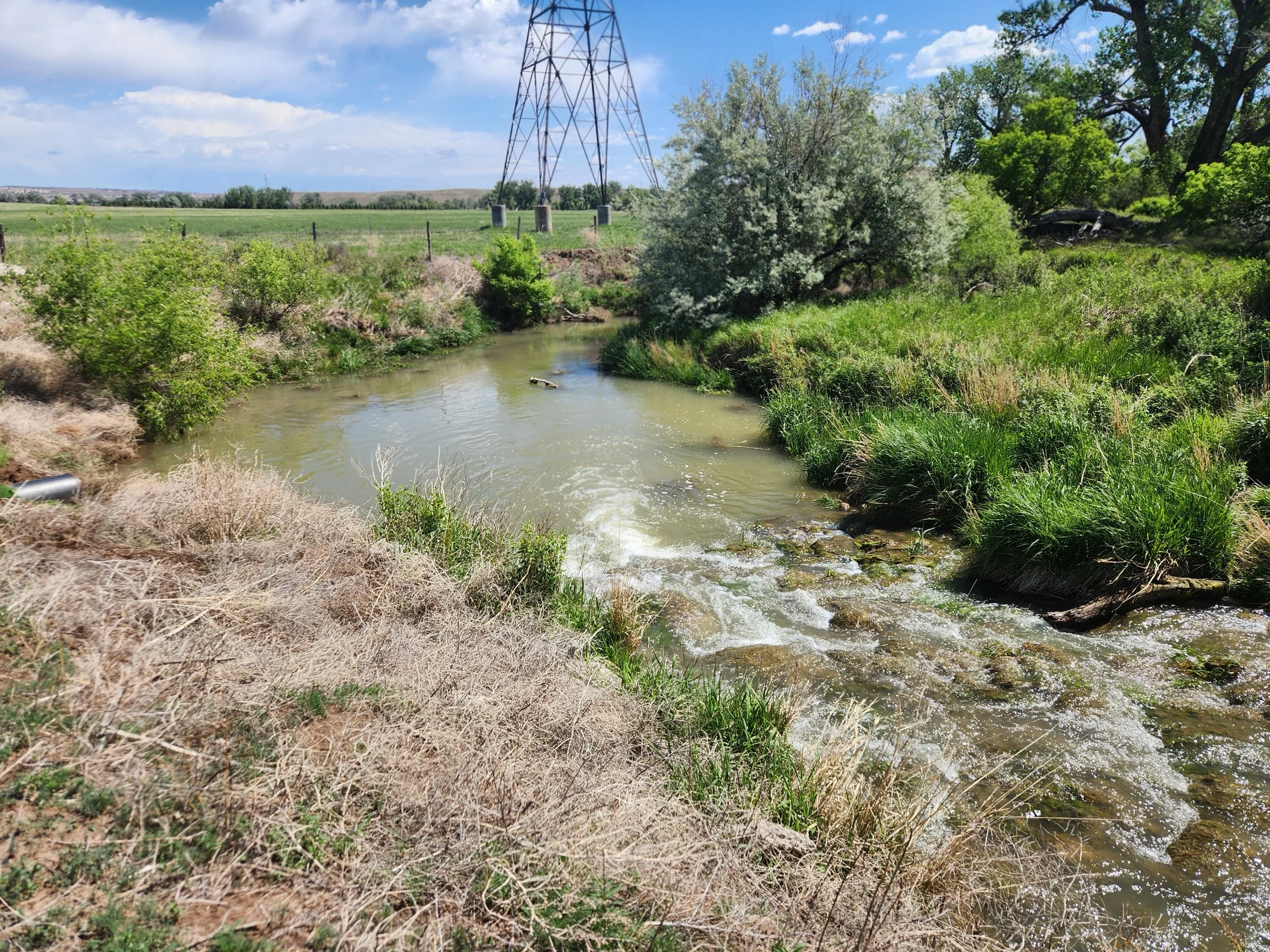
Site #4 is located on the Laramie River inside the TA Land & Cattle Ranch (GPS 42.119020, -104.813490), approximately 11.4 miles downstream of the pipeline crossing. The site is demarcated by a (single-lane) steel truss bridge and low-head concrete weir. Booming operations should originate downstream of the bridge crossing.


The site is accessible via winding dirt road off Grayrocks Road. Click here for driving directions.
SITE #5
GRAYROCKS RESERVOIR
Site #5 is located at a Public Access Area on Grayrocks Reservior (GPS 42.135245, -104.747359), approximately 15.7 miles downstream of the pipeline crossing. The site features a primitive campground, concrete-surfaced boat ramp, vault toilets, and large parking area. Booming opportunities are available within the shallow-water “cove” west of the boat ramp.


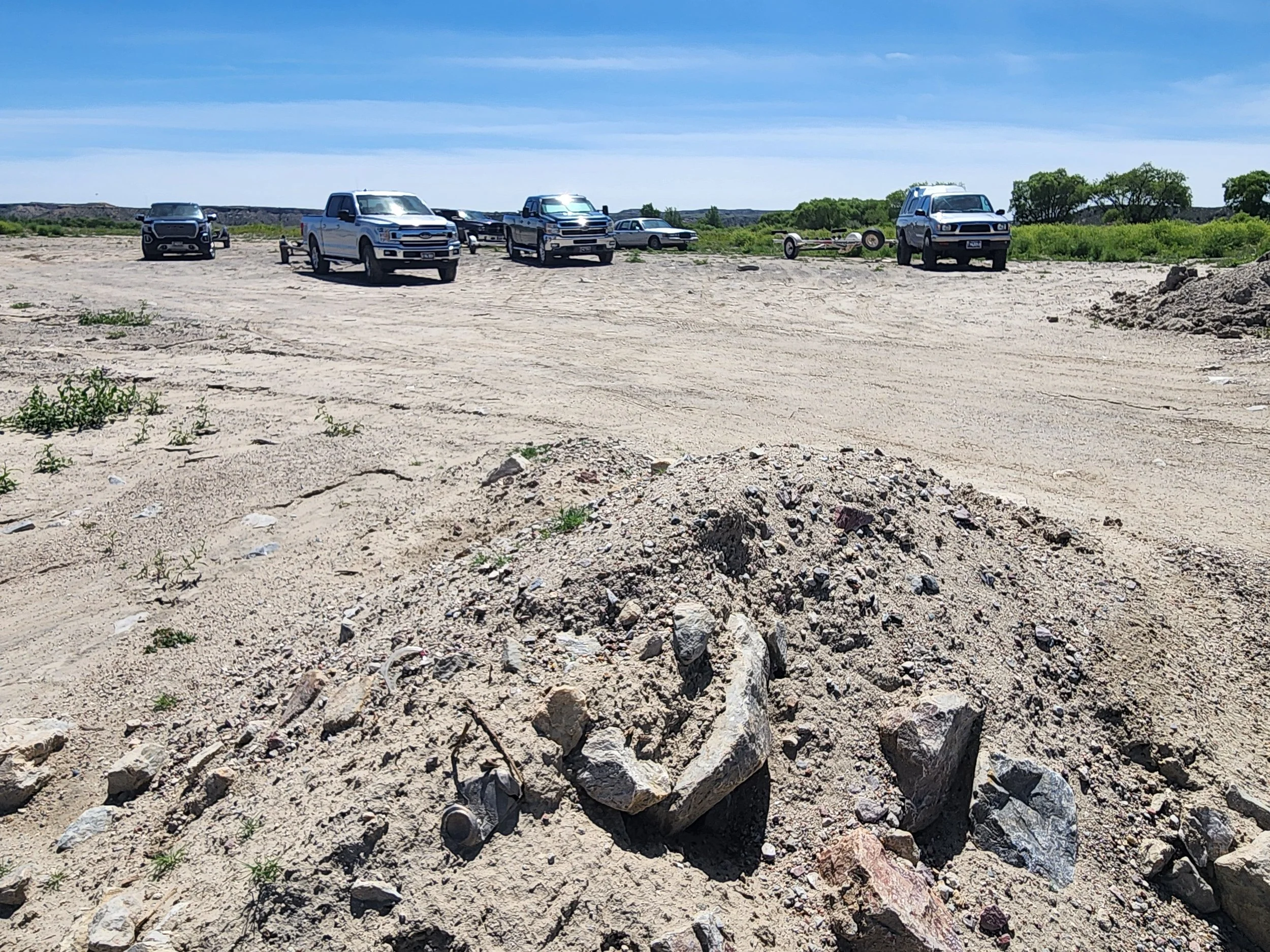


The site is accessible off Grayrocks Road on the south side of the reservoir. Click here for driving directions.
